A Mystery Country on the Map | 地図から始まった「どこの国?」
“Is it near Japan?” “Is it a big country or a small one?”
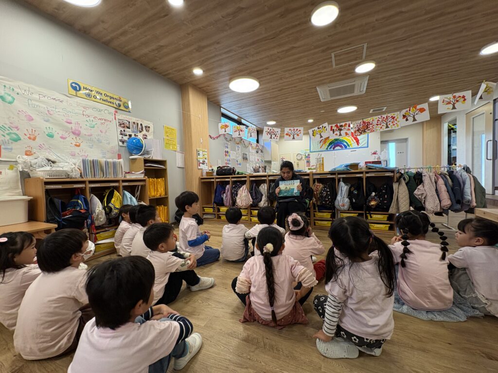
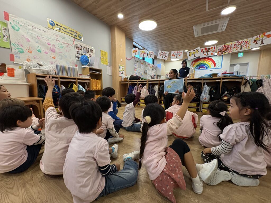
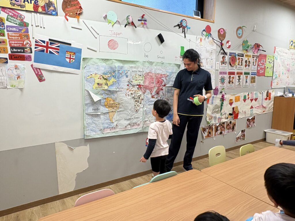
At Beyondia International School Kashiwanoha, our latest country study began with a guessing game. Before revealing the country’s name, we invited the children to share their predictions about its size and distance from Japan.
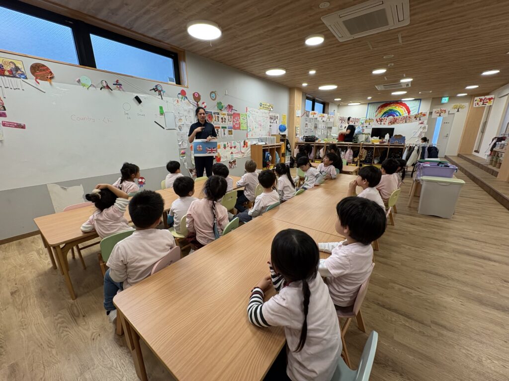
Then came a clue: the flag. Finally, we revealed our destination—Fiji!
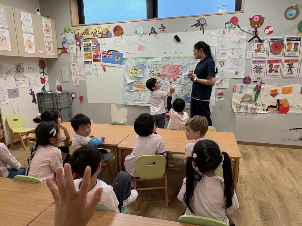
Together, we found Fiji in the Pacific Ocean and explored its position in relation to Japan, Australia and New Zealand. Discovering that one of our teachers comes from Fiji gave the children a familiar connection to a place that had seemed far away.
「日本から近いかな?」「大きな国かな、小さな国かな?」
Beyondia International School Kashiwanohaでの今回の国についての探究は、国名を当てるクイズから始まりました。答えを伝える前に、国の大きさや日本からの距離について、子どもたちに予想を聞いてみました。
次のヒントは国旗。そして、今回探究する国が「フィジー」であることを伝えました!
世界地図で太平洋にあるフィジーを探し、日本やオーストラリア、ニュージーランドとの位置関係を確かめました。本園の先生の一人がフィジー出身だと知り、遠く感じていた国が、子どもたちにとって少し身近な存在になりました。
Looking Closely at Fiji’s Flag | 国旗の小さな違いに気づいて
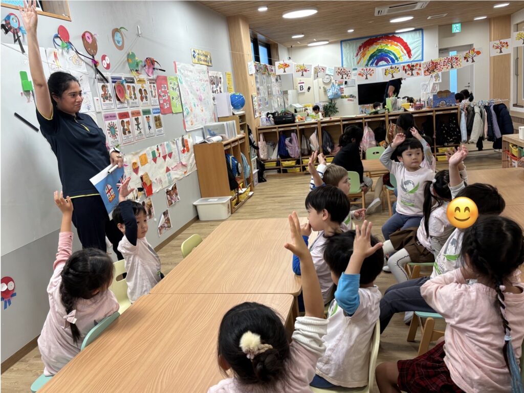
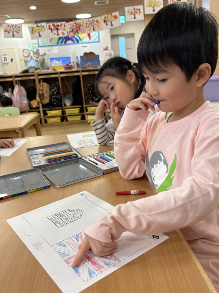
One child spotted something familiar in the corner of Fiji’s flag: “It has the flag of London!”
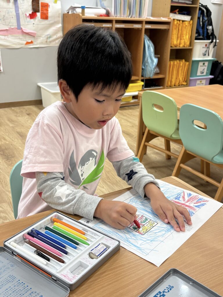
The child had noticed the Union Flag. This gave us a starting point for looking more closely at the flag’s colours and symbols before colouring our own.
During another discussion, a child pointed to the bunch of bananas and asked, “Why are the bananas at the top yellow, while the others are green?”
That small detail opened up a new conversation, with children offering different possible explanations. Moments like these give us a chance to pause, listen, and explore a question that matters to the children themselves.
国旗の隅を見て、「ロンドンの旗がある!」と気づいた子がいました。
見つけたのは、イギリスの国旗であるユニオンフラッグ。その気づきをきっかけに、フィジーの国旗の色やシンボルをじっくり観察し、自分たちでも色を塗りました。
別の日には、国旗に描かれたバナナを指さして、「どうして上のバナナは黄色で、ほかは緑なの?」という質問も。
小さな色の違いから会話が広がり、子どもたちはそれぞれの考えを伝え合いました。予定していた内容だけでなく、子どもたち自身が気になったことを立ち止まって考える時間も大切にしています。
What Makes an Island? | 遊びながら考える「島」って何?
As we explored Fiji’s many islands, including its two main islands, we compared them with Japan’s. But what exactly is an island?
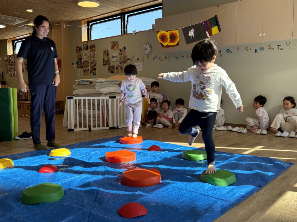
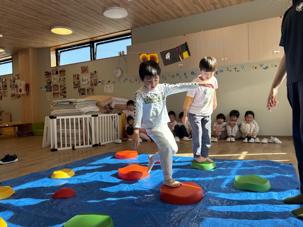
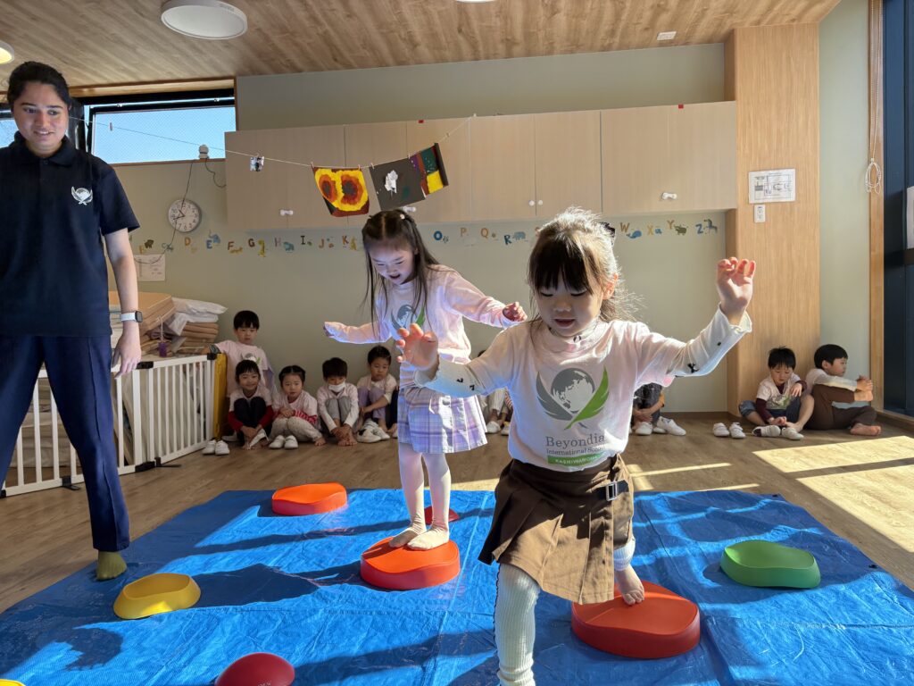
To make the idea easier to picture, we turned a large blue mat into the ocean and balance stepping stones into islands. The children’s challenge was to travel from one side to the other without stepping into the “water.”
When we returned to the map in a later session, a child pointed to the land and said, “Those are islands!” It was lovely to hear a word from our earlier discussions becoming part of the children’s own explanations.
主要な2つの島を含むフィジーの島々を見ながら、日本の島々とも比べました。では、そもそも「島」とは何でしょう?
イメージを広げるために、青い大きなマットを海に、バランスストーンを島に見立てました。「海に落ちないように」島から島へ渡り、反対側まで進む遊びです。
後日、もう一度地図を見たときには、陸地を指さして「そこは島だよ!」という声が聞かれました。話し合いや遊びの中で出会った言葉を、自分の言葉として使う姿が見られました。
Building an Island World Together | みんなのアイデアでつくる島の世界
After reading The Little Island by Margaret Wise Brown, we began creating our own Fiji-inspired island artwork.
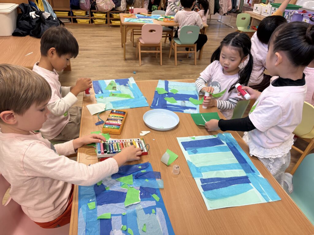
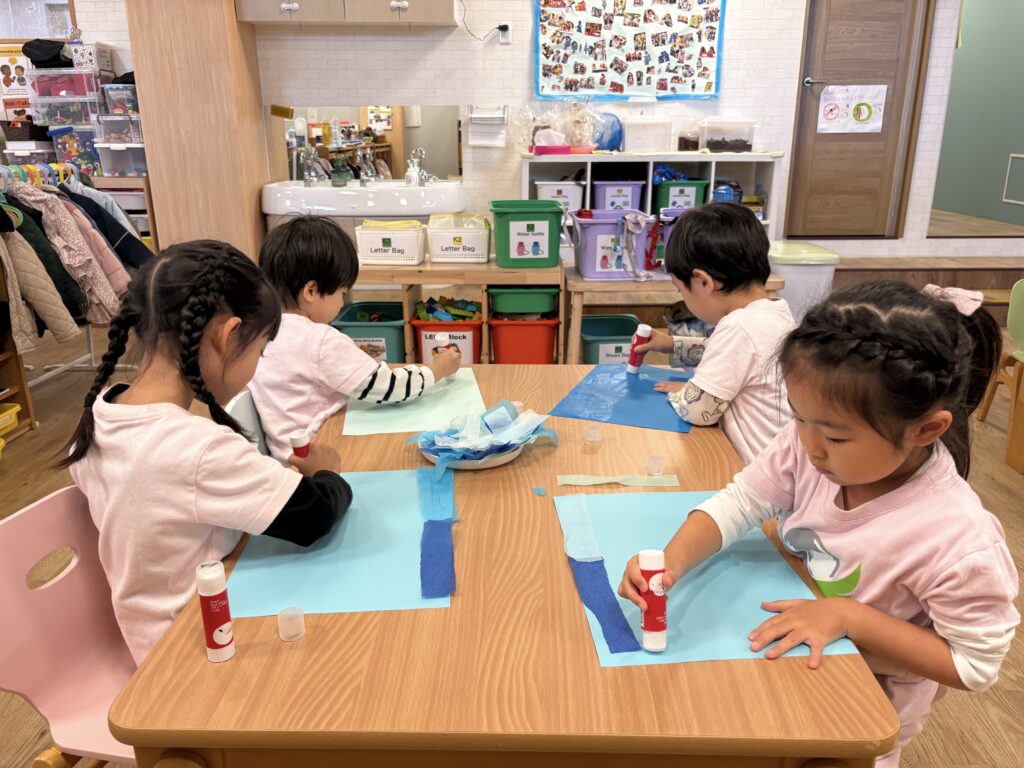
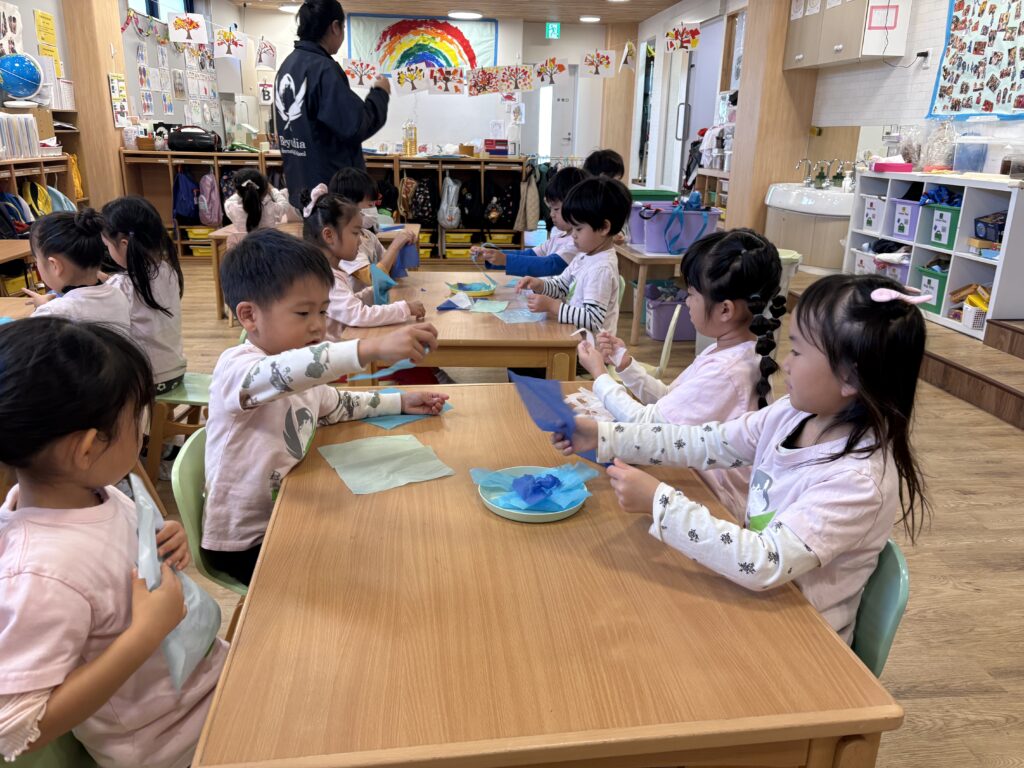
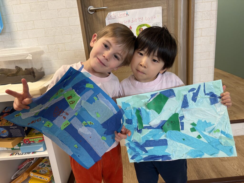
Working in five teams, the children chose shades of blue and tore tissue paper to represent ocean waves. Green origami paper became islands, which soon filled with people, buildings, trees, mountains, and animals. Boats, ships, and sea animals found their places in the surrounding ocean.
The shared artwork gave the children room to bring their own ideas into our country study. They could use what we had explored together while deciding what to add and how to represent it.
The children have also chosen to make a new world map together. We look forward to seeing what they notice—and what they ask—as our exploration continues.
マーガレット・ワイズ・ブラウンの絵本『The Little Island』を読んだ後は、フィジーからイメージを膨らませた島の制作に取り組みました。
5つのチームに分かれ、好きな青色を選び、薄紙をちぎって海の波を表現しました。緑の折り紙でつくった島には、人や建物、木、山、動物が加わり、周りの海にも船や海の生き物が登場しました。
一緒に探ってきたことをもとに、「何を加えよう?」「どうやって表そう?」と考えながら、それぞれのアイデアを形にしていく時間になりました。
子どもたちは、新しい世界地図もみんなで作ることにしました。これからどんな気づきや質問が生まれるのか、楽しみにしています。